One thing I like about the trains that run through the mountains here, is that it’s living history. The Union Pacific Moffat Subdivision (as it is known today) was originally built around 1903 and is still in use today. That makes it roughly 110 years old.
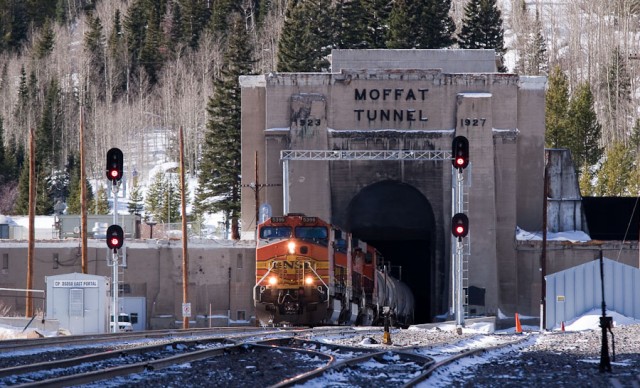
On September’s outing with Rob and Sherrie (I’m a little behind in updating this blog), we picked up where we left off from our July outing when we explored the eastern side of Moffat Tunnel (6.1 miles long, under the Continental Divide) and the old route over Rollins Pass.
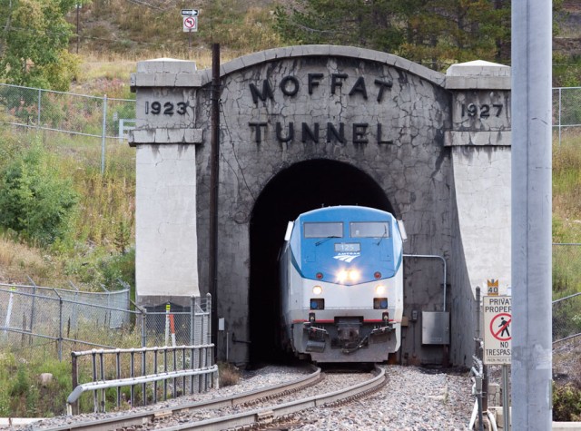
We headed over to the west side of the Moffat Tunnel, in Winter Park. As luck would have it, we caught Amtrak’s California Zephyr emerging from the tunnel. (It helps to have a scanner radio to hear the train communications.) Compared to the east portal of the tunnel with is large concrete structure and huge venting system, the west portal is unassuming.
Because this is a photo heavy post the rest are behind the cut. And some of these photos benefit by clicking to see the larger versions.
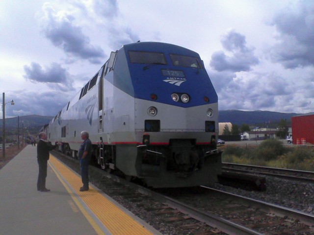
We followed the Zephyr down to Fraser, where it was forced to sit while there was track work ahead.
The guy on the right is the train driver. He looks pretty small compared to the massive engine.
Before the Moffat Tunnel was completed in the 1920’s, the trains had to work their way up and over Rollins Pass, there the weather was very harsh in the winter. We followed the old train grade up to the pass from Winter Park, looking for old townsites that don’t exist any more.
Because the area was so steep, the train looped over itself.
An uphill train would approach on the barely visible grade on the far right and pass through a tunnel under the bridge heading to the left. Then it would wrap clockwise around the hill and cross the bridge.
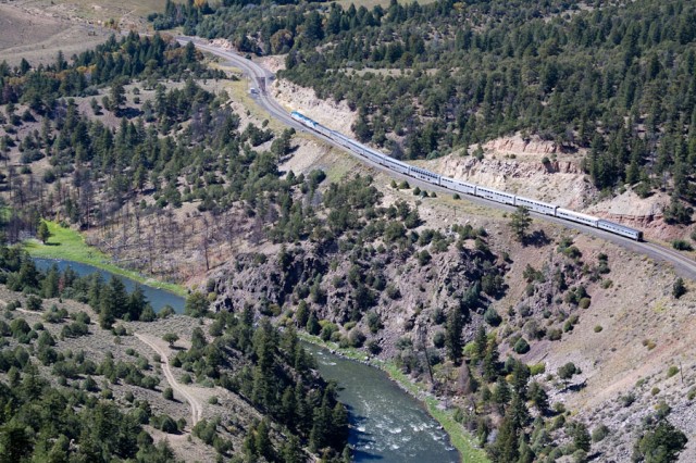
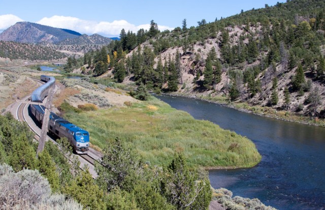
About a week later, I took a trip to southwestern Colorado. I decided to take the long route via the back roads that run along the Colorado River and the continuation of the Moffat Route from Winter Park to Glenwood Springs.
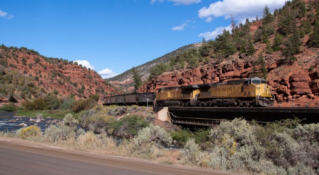
As with many places along the route, the trains pass through some spectacular scenery. The construction of the route was arduous.
As one heads downstream the cliffs become more red.
One of these days, I’ll take the Zephyr to Glenwood Springs or all of the way to California and get some photos from the other perspective.

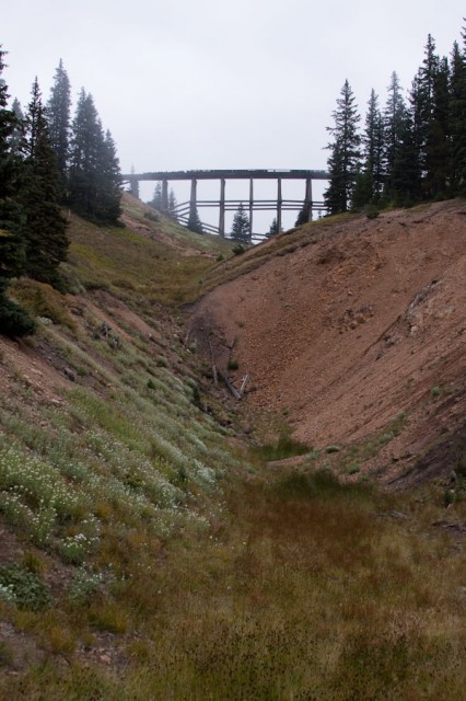
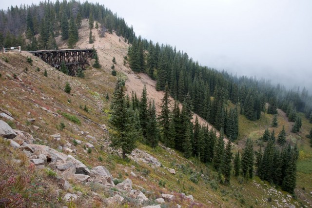
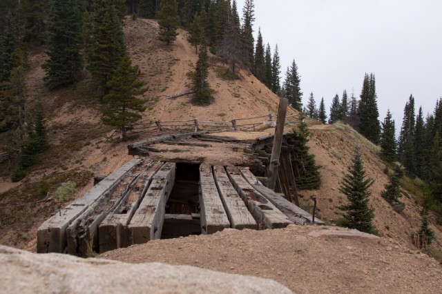
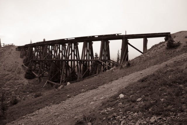

It looks like you managed to get a good shot of the bridge from the striking angle I pointed out after all :). As I recall, it was kind of a crap shoot, what with the fog.
I don’t remember which shot that was. Was it the shot on the way back down the road? Or was it as we hiked up the side? In any case, none of the ones with the fog looked that impressive. Fog always looks better in person. 🙂
We rode on the wooden train in the Yukon. It followed the trail, those looking for gold, used to take on donkeys…..some of your photographs remind me of how steep that rail was. Lovely photographs.:))
Thanks, Liz! A lot of the railroad routes here were surveyed in the 1880’s, even though many were not built for a decade or more later. There was a lot of fierce competition among railroads back then. The amusing thing now is that all these guys would be turning in their graves if they new about all of the mergers since then, with many former competitors now under the same company.