I visited the West Mag area on my bike to view the results of the year-long logging project there.
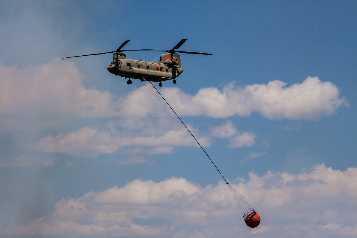
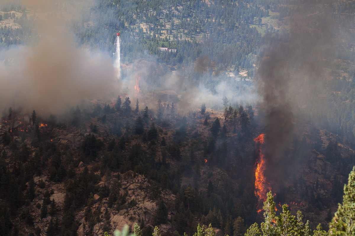
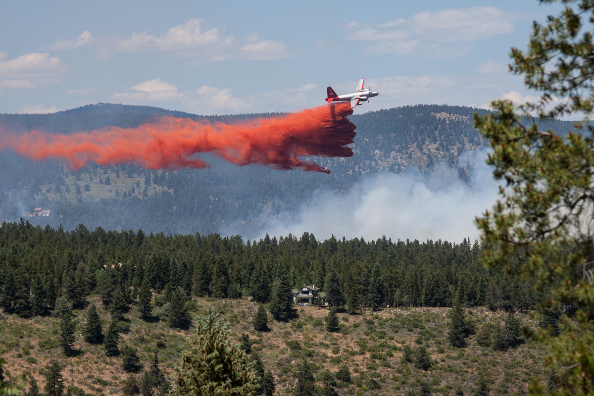
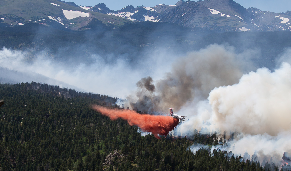
Overall, I’m not unhappy with what has been done. What makes me unhappy is all of the lies and bullshit justification for the project to begin with. A lot of it were claims about pine beetles. What’s left is worse than what pine beetles could have ever done. Yeah, if you take away the forest, you won’t have a pine beetle problem. That’s like tearing out a lawn because it has some weeds in it. Don’t even get me started on fire mitigation. The area is just a flammable in 40 MPH winds as it ever was.
Seventy percent of the trees removed here were alive and healthy. Granted, the forest was mature and dense due to lack of fires.
A big question I have is, since the land is publicly owned by us, why can’t some of the wood be used by the public? A huge number of homes here in the mountains are heated by wood. Everything the government does benefits a private contractor.
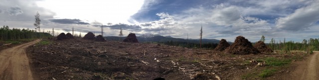
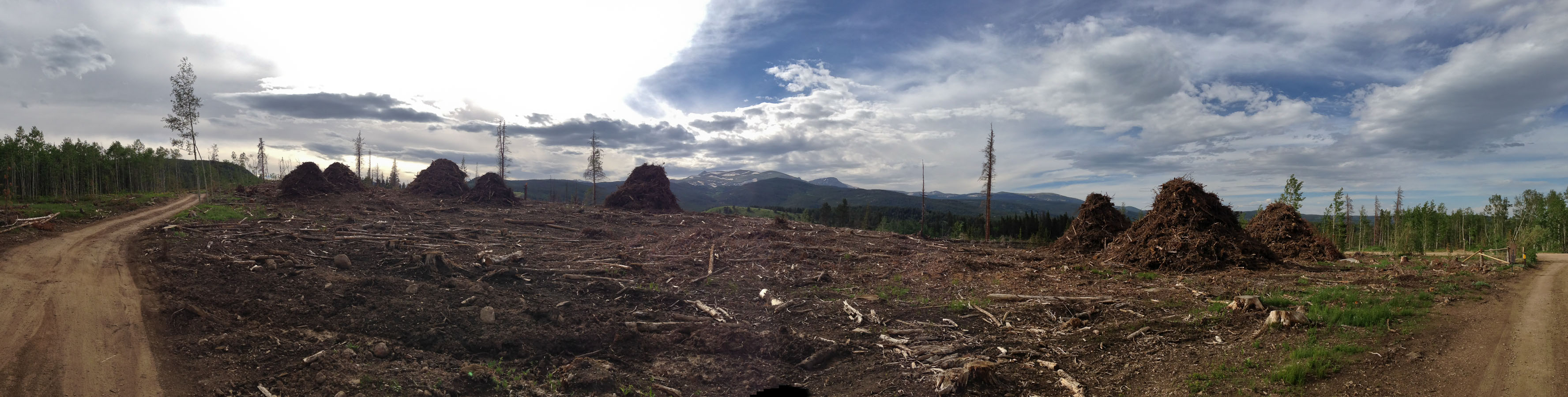
Looking towards The Divide from forest road 355. (click for much larger, then click again and use the scroll bar.)
I know this area really well. The landscape is now unfamiliar where the trees have been removed. The points of reference my brain had are now gone. Even though the road in the above photo is the exact same road that I’ve traveled a hundred times, it seemed I’d had never been on it before. Every once in a while, I’d catch something familiar to connect then and now.
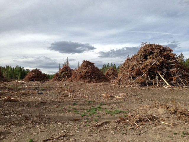
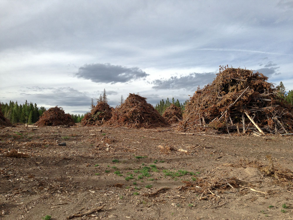
Large slash piles waiting to be burned.
I’m sure that sooner or later, someone is going to come along and torch one of these piles. They are sitting there like bonfires in the waiting. From what I’ve read, there is no plan yet in place to do anything with them.
It will be interesting to see how long it takes for some vegetation to re-grow in the cut areas. While there is a little grass in the foreground of the photo above, most places are totally void of any living plant.
The project isn’t finished yet. It will gradually move southward into Gilpin County.