Gilpin Adventure

It was well overdue for an outing with Rob and Sherrie.  We normally do this monthly, but it’s probably been 6 months or longer.  And as we often do, we set off to places none of us had been before to discover the mining history of the area.  But if anyone had asked, we were hunting for wild mushrooms and raspberries (which we found and ate).

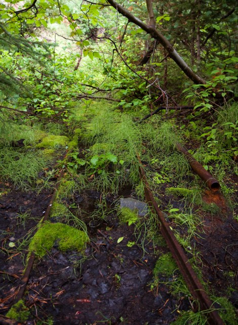
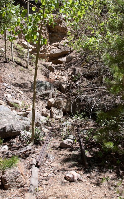
We headed up towards Mammouth (or Mammoth, depending which sign or map we were looking at) Gulch in Gilpin County.  As we bounced and jostled up the 4×4 road, Rob kept an eye on the maps.  There was a “Y” symbol next to the road, which in U.S.G.S. symbology means an adit or tunnel.  So we stopped to explore what we couldn’t see.


Follow the rails

Continue reading

Annular Eclipse of the Sun

I had heard about the upcoming eclipse, but I hadn’t realized until Friday morning that it was a full annular eclipse near this part of the world.  So I started researching where I needed to go to see the whole thing.

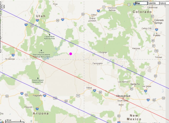
The red line was the center of the eclipse. The blue lines denote the limits of where the moon was visible entirely within the outline of the sun. (Click for larger.)


I wanted to be somewhere south of the upper blue line.  In the hopes of somehow combining some interesting scenery with the eclipse, I finally settled on going to Valley of the Gods in southern Utah (pink dot on the map).

By the time I finally got the Xterra loaded with camping and photography gear, it was raining/snowing around noon on Saturday.  I knew I wasn’t going to make it all of the way to the Valley of the Gods, so my first night was spent in one of my favorite places near Arches National Park, Klondike Bluffs.

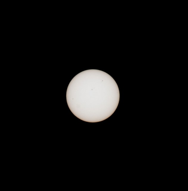
Klondike was warm and clear.  Once I settled on a camping spot (there was no one around for miles), I set up my camera and did a few test shots of the sun.  Overall, an idyllic evening.

The sun before the eclipse, with sunspots visible on the surface.

Continue reading