I took a short road trip (work related) to the northeast corner of Oklahoma, via central Kansas. I started a blog post about it a week ago, but the words never came in an orderly fashion. There is stuff to say about the trip, but each item I wanted to touch on seem to grow into an unmanageable diatribe.
I’ll just make some bullet points and post some photos.
- The drive on I-70, between Denver and Salina, is excruciatingly boring. Aside from some wind farms, the scenery is the same for eight hours.
- The Interstate was constructed on a very long sloping ridge, so that the horizon drops off quickly and you can only see the landscape few miles in any direction before it became sky.
- Northeast Oklahoma is a lot like Missouri, which is right next door. A lot of trees and humidity.
- A lot of people have pictures of Jesus on the corner of their farms.
- A lot of people have anti-abortion signs on the corner of their farms.
- A lot of people were spraying chemicals on their crops in the evening.
- Fireflies continued to glow after they splattered against my windshield.
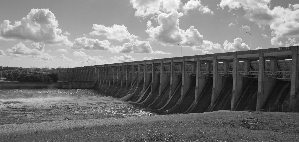
Grand Lake O the Cherokees Dam, Oklahoma
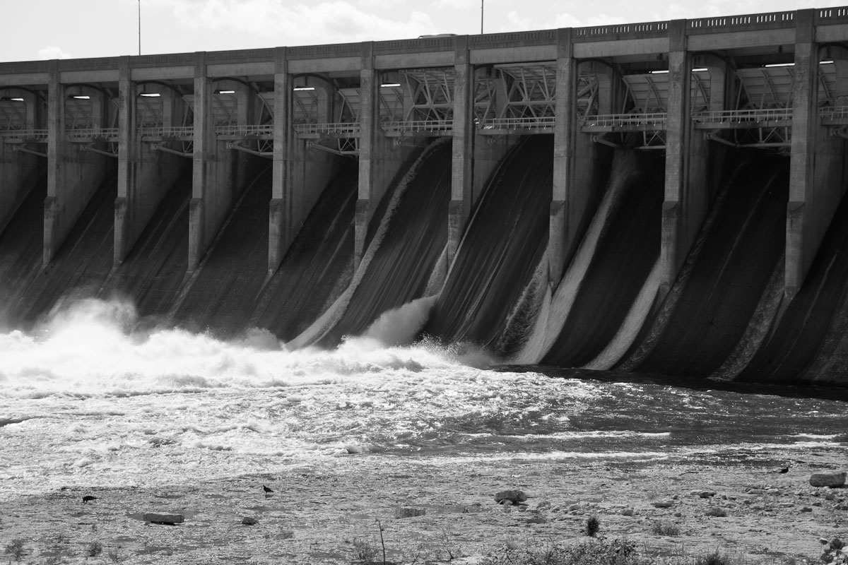
Flood gates releasing water
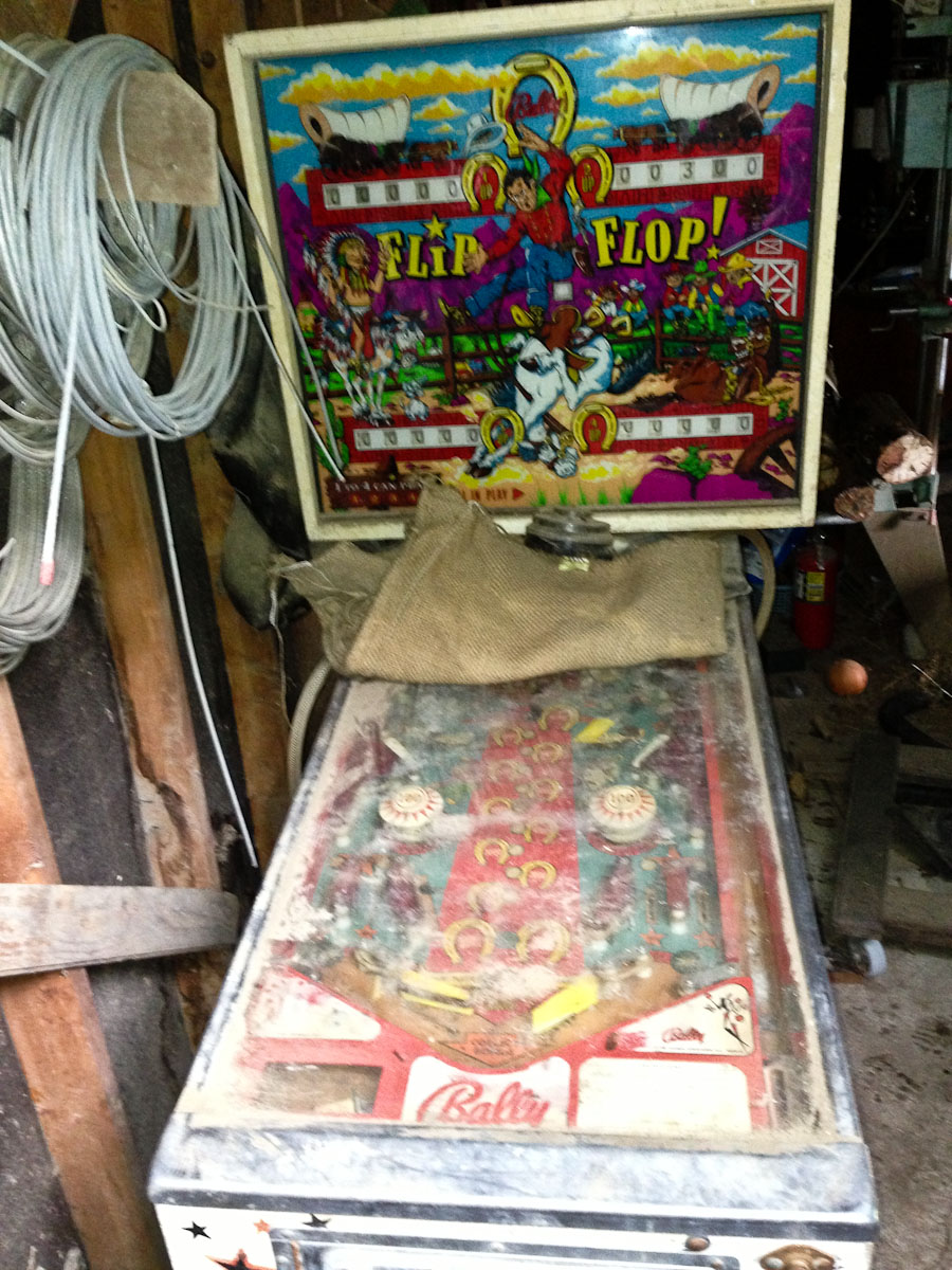
Pinball machine in shed, NE Oklahoma. It’s ruined inside and out.